Mount Evans - Idaho Spring Day Trip 2002
- Front Range
- 2005 Report
Summary
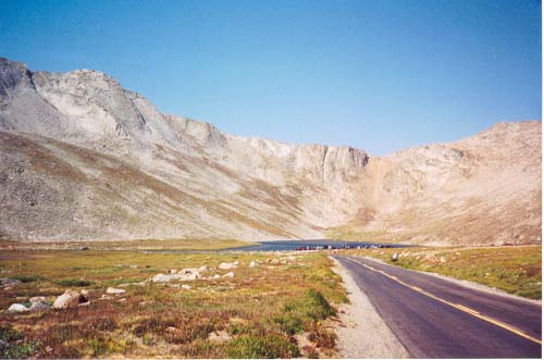
Mount Evans Elevation 14,270ft. (Aug. 17, 2002) "Mount Evans road" trail from Echo Lake TH. From this TH, this class 1 trail runs (29.2 miles rt. with 3,700ft. gain). TH directions are as follows, take I-70 West to Idaho Springs Exit 240, go 13.4 miles on Colorado 103 South to Echo lake. This is where I started my bike ride up Mount Evans. This morning was very cold after a cold front had moved through the night before. There was a three dollar use fee on the road, which I paid and headed up. After the following the twisty and many switch back road I arrived at the top. I did not see any signs posted so I biked the last 300 yards up the single track road to the very top.
The parking lot on top was filled with many people, vehicles, and mountain goats. The mountain goats were climbing all over the stone building/ruin adjacent to the parking lot. On the way up I passed the Summit Lake TH, but the distance that you would have to climb to reach the summit from this point seemed pretty week. I would have to say that the best way to climb/hike the peak would be from Mount Bierstadt and the sawtooth ridge, or climbing straight from Guenila Pass.
Trip Schedule break down
| Saturday | 5:15AM | -left the house. |
| 6:45AM | -left the TH at Echo Lake. | |
| 9:30AM | -summit Mount Evans | |
| 10:20AM | -back at TH | |
| 11:50AM | -back home. |